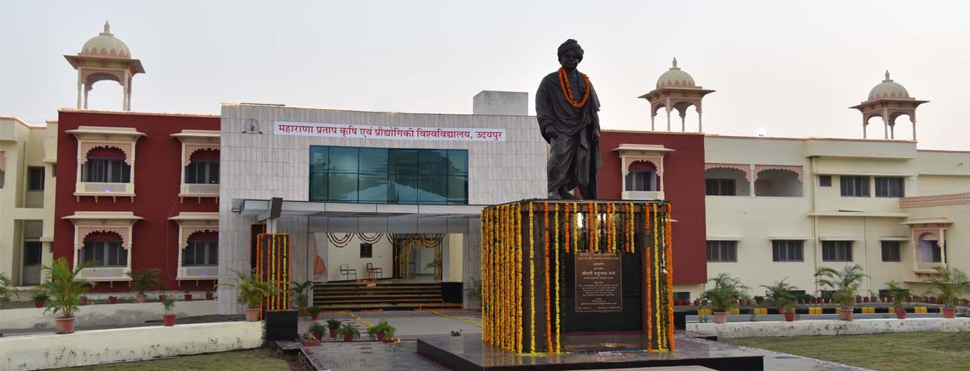
Introduction about Ph.D. in Geo-Informatics at MATS University
In an era where spatial data drives global decision-making, pursuing a Ph.D. in Geo-Informatics at MATS University stands as a beacon for professionals aiming to lead the digital transformation of our physical world. Geo-Informatics is not just a study of maps; it is a sophisticated fusion of Remote Sensing (RS), Geographic Information Systems (GIS), and Global Positioning Systems (GPS) designed to solve complex environmental and socio-economic challenges. MATS University, located in the heart of Chhattisgarh, has established itself as a premier destination for higher education, fostering an environment where innovation meets academic rigor. This doctoral program is meticulously crafted for professionals who aspire to contribute original research to the fields of disaster management, urban planning, agriculture, and climate modeling. By merging advanced technology with analytical expertise, candidates at MATS University are prepared to become the architects of a sustainable future.
Ph.D Admission 2026-2027 & Writing Support Services by Shiksha Research
Embarking on a doctoral journey requires precision, commitment, and the right guidance. Often, candidates seek professional PhD Admission Assistance to navigate the complexities of university protocols and ensure their application stands out in a competitive academic landscape.
Eligibility Criteria for Ph.D. in Geo-Informatics at MATS University
The eligibility standards for the Ph.D. program in Geo-Informatics at MATS University are designed to ensure that candidates possess the foundational knowledge necessary for high-level research. Professionals looking to apply must meet the following criteria:
- Academic Qualification: Candidates must hold a Master?s degree (M.Sc., M.Tech., or M.E.) in Geo-Informatics, Remote Sensing, GIS, Geography, Geology, Civil Engineering, Computer Science, or a related discipline from a recognized university.
- Minimum Marks: A minimum of 55% aggregate marks or an equivalent grade (CGPA) is required at the postgraduate level.
- Relaxation: A relaxation of 5% marks is typically provided to candidates belonging to SC/ST/OBC (non-creamy layer) and differently-abled categories, in compliance with UGC guidelines.
- Professional Experience: While not mandatory, candidates with significant industrial or research experience in geospatial technologies are highly encouraged to apply.
Entrance Exam for Ph.D. in Geo-Informatics at MATS University
Admission to the doctoral program is strictly merit-based, governed by the MATS University Entrance Test (MET). The entrance examination evaluates the candidate?s aptitude for research and their depth of knowledge in the subject area. The exam generally consists of two parts:
- Part A: Research Methodology: This section assesses logical reasoning, analytical skills, and the candidate's understanding of research ethics and data interpretation.
- Part B: Subject-Specific (Geo-Informatics): This section focuses on core concepts like Photogrammetry, Digital Image Processing, Spatial Analysis, and Programming for GIS.
Note: Candidates who have qualified for national-level examinations such as UGC-NET, CSIR-NET, GATE, or SLET are often exempted from the written entrance test, though they must still participate in the personal interview round.
Fee Structure for Ph.D. in Geo-Informatics at MATS University
The investment in a Ph.D. program at MATS University is structured to provide value and world-class facilities to researchers. Below is an approximate breakdown of the fee components:
| Fee Component | Estimated Amount (INR) | Frequency |
|---|---|---|
| Application & Registration Fee | ?2,500 - ?5,000 | One-time |
| Course Work Fee | ?20,000 - ?30,000 | One-time |
| Annual Tuition Fee | ?60,000 - ?80,000 | Per Year |
| Thesis Submission & Evaluation Fee | ?15,000 - ?25,000 | At the time of submission |
| Library & Laboratory Deposit (Refundable) | ?10,000 | One-time |
Note: The fee structure is subject to change based on university regulations. Candidates are advised to verify the latest figures during the admission process.
Admission Process for Ph.D. in Geo-Informatics at MATS University
The admission process at MATS University is transparent and rigorous. It begins with the release of the official notification on the university website. Interested candidates must follow these steps:
- Online/Offline Application: Fill out the application form with accurate personal and academic details.
- Entrance Test: Appear for the MET exam or provide proof of exemption (NET/GATE).
- Result Declaration: Qualified candidates are shortlisted for the interview phase.
- Interview/Presentation: Candidates must present their research interest before the Departmental Research Committee (DRC). This is where expert PhD Topic Selection and Proposal Assistance becomes invaluable to showcase a viable and innovative research path.
- Final Selection: Based on the combined performance in the entrance test and interview, the final admission list is published.
- Registration: Successful candidates complete the formalities and are assigned a research supervisor.
Ph.D. Subjects and Specializations in Geo-Informatics at MATS University
Geo-Informatics is a multi-dimensional field. At MATS University, scholars can specialize in various niches that align with modern industrial needs. Major subjects and specializations include:
- Satellite Remote Sensing: Advanced study of sensors, platforms, and data acquisition.
- Advanced GIS Analysis: Modeling complex spatial patterns and network analysis.
- Digital Image Processing: Techniques for enhancing and extracting information from satellite imagery.
- Web GIS and Cloud Computing: Implementing geospatial solutions on the web architectures.
- Programming for Geo-computation: Utilization of Python, R, and MATLAB for spatial data science.
- Geodesy and GNSS: High-precision positioning and navigation systems.
Research Areas in Geo-Informatics at MATS University
MATS University encourages interdisciplinary research that addresses real-world issues. Current research areas include:
- Urban Dynamics: Smart city planning and urban heat island modeling.
- Natural Resource Management: Forestry, water harvesting, and mineral exploration using geospatial tools.
- Disaster Risk Reduction: Flood mapping, landslide susceptibility, and earthquake impact analysis.
- Precision Agriculture: Monitoring crop health, soil moisture, and yield prediction.
- Climate Change Studies: Glacial retreat monitoring and carbon sequestration modeling.
To ensure these research findings contribute to the global scientific community, scholars often look for Research Publication Support to get their work published in Scopus-indexed or Web of Science journals.
Documents Required for Ph.D. in Geo-Informatics at MATS University
Candidates must submit verified copies of the following documents during the admission process:
- Post-Graduation Degree Certificate and Marksheets.
- Graduation Degree Certificate and Marksheets.
- High School (10th) and Intermediate (12th) Certificates.
- Transfer Certificate (TC) and Migration Certificate.
- Caste Certificate (if applicable).
- Entrance Exam Scorecard (NET/GATE/MET).
- Research Proposal (stating the area of interest).
- No Objection Certificate (NOC) from the employer (for working professionals).
- Passport-size photographs and Identity Proof (Aadhar Card).
MATS University Ph.D. Syllabus for Geo-Informatics
The syllabus for the Ph.D. program is divided into rigorous coursework (usually six months) followed by the actual research phase. The coursework includes:
- Paper I: Research Methodology: Covers sampling techniques, statistical analysis using SPSS, hypothesis testing, and ethical considerations in research.
- Paper II: Advanced Geo-Informatics: Focuses on current trends in RS/GIS, Microwave Remote Sensing, and LiDAR technology.
- Paper III: Professional Communication & ICT: Preparing for academic writing and technical presentations.
- Paper IV: Review of Literature: Submitting a comprehensive review on the chosen research topic.
Upon completion of the thesis, ensuring the highest linguistic quality is paramount. Professional Editing and Proofreading Services are often employed by scholars to refine their final submission.
How To Apply for Ph.D. in Geo-Informatics at MATS University
The application process is designed to be user-friendly for busy professionals:
- Visit the official MATS University website.
- Navigate to the 'Admissions' tab and select 'Ph.D. Program'.
- Register by providing your email and phone number.
- Fill out the digital application form accurately.
- Upload scanned copies of the required documents.
- Pay the application fee through the secure online payment gateway.
- Submit the form and download the confirmation receipt for future reference.
Career Scope and Job Opportunities After Ph.D. in Geo-Informatics from MATS University
A Ph.D. in Geo-Informatics opens doors to high-level careers in both the public and private sectors globally. The demand for geospatial experts is skyrocketing in the age of Big Data. Career paths include:
- Research Scientist: Leading projects at ISRO, NASA, or the Indian Institute of Remote Sensing (IIRS).
- Geospatial Consultant: Working with international firms like ESRI, Google, and Hexagon.
- Academician: Professor or Researcher at top-tier universities.
- Data Scientist (Spatial): Analyzing multi-dimensional data for logistics and insurance companies.
- Urban Planner: Senior roles in municipal corporations and smart city missions.
For those who innovate new tools or algorithms, it is crucial to protect their intellectual property through Patent Filing and Support Services.
Scholarship for Ph.D. in Geo-Informatics at MATS University
MATS University is committed to making education accessible. Financial aid options include:
- University Fellowships: Awarded to top-ranking students in the entrance exam.
- Government Scholarships: Support for reserved categories and minority students through State and Central Government schemes.
- CSIR/UGC JRF: Candidates who have cleared JRF receive a monthly stipend as per government norms.
- Sponsored Projects: Research assistants working under funded faculty projects may receive financial support.
For distinguished professionals with a lifetime of contribution to the field, the university may also acknowledge their impact through Honorary Doctorate Programs.
FAQs Regarding Ph.D. in Geo-Informatics at MATS University
1. Can I pursue this Ph.D. on a part-time basis?
Yes, MATS University offers a part-time Ph.D. option, which is particularly beneficial for working professionals, provided they meet the coursework attendance requirements.
2. What is the duration of the Ph.D. program?
The program duration is typically a minimum of 3 years and a maximum of 6 years.
3. Is the MATS University Ph.D. degree recognized by UGC?
Yes, MATS University is a UGC-recognized university, and its Ph.D. degrees are valid for all government and private sector jobs, as well as for academic career advancement.
4. Do I need to be in Raipur throughout the research period?
While the coursework requires physical presence, the subsequent research phase can be managed with scheduled meetings with your supervisor, allowing for greater flexibility.
5. What is the importance of the Research Proposal during the interview?
The proposal is vital as it demonstrates your clarity of thought and the feasibility of your research. It is the primary document used by the committee to judge your potential as a scholar.