Ph.D. in Geo-Informatics from Nalanda Open University: Eligibility, Entrance Exam, Fee Structure, Admission Process, Subjects, Research Areas, Syllabus, Scholarship & Career Scope
Introduction about Ph.D. in Geo-Informatics at Nalanda Open University
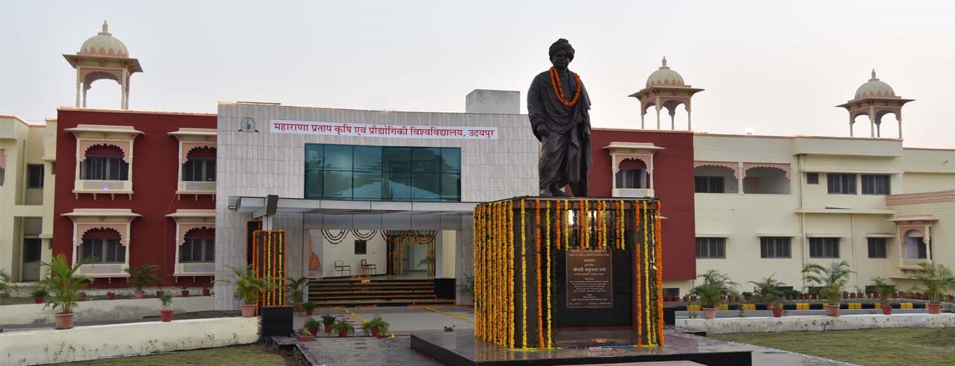
The pursuit of a Ph.D. in Geo-Informatics at Nalanda Open University (NOU) represents a transformative journey for professionals who aspire to master the convergence of geography, data science, and space technology. In an era where spatial data is the backbone of global decision-making?from urban planning and disaster management to environmental conservation?NOU offers a robust academic framework for advanced research. As Bihar's premier open university, Nalanda Open University provides a flexible yet rigorous environment, enabling scholars to contribute original insights to the field of Geographic Information Systems (GIS), Remote Sensing, and Global Positioning Systems (GPS). This doctoral program is designed to inspire innovation, encouraging researchers to solve complex real-world problems through spatial analysis and computational modeling.
Ph.D Admission 2026-2027 & Writing Support Services by Shiksha Research
Eligibility Criteria for Ph.D. in Geo-Informatics at Nalanda Open University
To embark on this prestigious research journey, candidates must meet specific academic standards. The eligibility criteria for a Ph.D. in Geo-Informatics at Nalanda Open University are designed to ensure that scholars possess the foundational knowledge required for high-level technical research. Professionals seeking admission must hold a Master?s Degree (M.Sc., M.Tech., or M.A.) in Geo-Informatics, Remote Sensing, Geography, Geology, Computer Science, Environmental Science, or a related discipline with at least 55% marks (50% for SC/ST/OBC/Differently-abled candidates) from a recognized university. Additionally, professionals with significant industry experience in spatial technologies are encouraged to apply, provided they meet the academic thresholds set by the University Grants Commission (UGC).
Entrance Exam for Ph.D. in Geo-Informatics at Nalanda Open University
Admission to the doctoral program is strictly governed by the Nalanda Open University Pre-Ph.D. Registration Test (PRT). This entrance exam evaluates a candidate's aptitude for research, their command over Geo-Informatics fundamentals, and their analytical capabilities. The examination usually consists of two parts: a written test focusing on research methodology and a subject-specific paper covering GIS, Remote Sensing, and Cartography. It is important to note that candidates who have qualified for national-level examinations such as UGC-NET, CSIR-NET, or JRF are often exempted from the written entrance test, though they must still appear for the personal interview and present their research proposal. Many students find that securing Thesis and Dissertation Writing Services during the early stages of proposal drafting helps them articulate their vision more effectively to the selection committee.
Fee Structure for Ph.D. in Geo-Informatics at Nalanda Open University
Nalanda Open University is committed to providing affordable higher education, making advanced research accessible to a wider demographic of professionals. The fee structure for the Ph.D. program in Geo-Informatics is designed to cover administrative costs, library access, and examination fees without imposing a heavy financial burden. Below is an approximate breakdown of the typical costs involved:
| Fee Category | Approximate Amount (INR) | Frequency |
|---|---|---|
| Application & Entrance Test Fee | 2,500 - 3,500 | One-time |
| Course Work Fee | 15,000 - 20,000 | One-time |
| Annual Tuition/Registration Fee | 10,000 - 15,000 | Per Year |
| Thesis Submission & Evaluation Fee | 15,000 - 25,000 | At the time of submission |
| Contingency & Other Charges | 5,000 - 8,000 | Annual |
Please note that the exact fees are subject to change based on the latest university notifications and UGC guidelines. Professionals should check the official NOU website for the most recent updates.
Admission Process for Ph.D. in Geo-Informatics at Nalanda Open University
The admission process at Nalanda Open University is structured to identify candidates with high intellectual potential and a passion for spatial sciences. The process follows these steps:
- Application Submission: Candidates must fill out the online or offline application form during the admission window.
- Entrance Test (PRT): Eligible candidates appear for the written entrance exam.
- Interview/Viva-Voce: Shortlisted candidates are called for an interview where they present their research interests before the Departmental Research Committee.
- Enrollment and Course Work: Selected scholars must complete a mandatory six-month course work period focused on research ethics and advanced geo-spatial techniques.
- Registration: After successful completion of course work, the candidate formally registers their title and begins their research under a supervisor.
Ph.D. Subjects and Specializations in Geo-Informatics at Nalanda Open University
The Ph.D. program allows for deep specialization in several sub-fields of Geo-Informatics. This diversity ensures that professionals can align their research with their career aspirations or current organizational needs. Key subjects and specialization areas include:
- Advanced Remote Sensing: Hyperspectral and LiDAR technology applications.
- Spatio-temporal Modeling: Tracking changes in land use and land cover over time.
- Web-GIS and Mobile Mapping: Developing real-time spatial data delivery systems.
- Geomorphology and Digital Elevation Models (DEM): Analyzing terrain and hydrological patterns.
- Precision Agriculture: Using spatial data to optimize crop yields and resource management.
Often, during the specialized study of these subjects, researchers require specialized Research Data Analysis Services to process complex satellite imagery and large spatial datasets accurately.
Research Areas in Geo-Informatics at Nalanda Open University
Research at NOU is characterized by its relevance to societal and environmental challenges. Scholars are encouraged to explore diverse research areas such as:
- Urban Planning: Smart city development, traffic management, and urban sprawl analysis.
- Environmental Management: Climate change modeling, forest fire monitoring, and biodiversity mapping.
- Disaster Risk Reduction: Flood mapping, earthquake vulnerability assessment, and landslide prediction.
- Public Health: Spatial epidemiology and mapping the spread of infectious diseases.
- Natural Resource Management: Mineral exploration and groundwater level analysis.
Documents Required for Ph.D. in Geo-Informatics at Nalanda Open University
A smooth admission procedure requires the timely submission of various documents. Candidates should prepare the following:
- Post-graduate Marksheets and Degree Certificates.
- Undergraduate Marksheets and Degree Certificates.
- Original School Leaving/College Leaving Certificate.
- Migration Certificate (for applicants from other universities).
- Caste Certificate (if applicable).
- Valid Proof of Identity (Aadhar Card, Passport, etc.).
- NOC from Employer (mandatory for working professionals).
- Passport size photographs.
- Research Proposal (Synopsys) reflecting the intended area of study.
- UGC-NET/JRF/SLET Certificate (for exemption from entrance test).
Nalanda Open University Ph.D. Syllabus for Geo-Informatics
The syllabus for the Ph.D. course work is meticulously designed to bridge the gap between theoretical knowledge and practical research application. It typically includes:
- Paper I: Research Methodology: Ethics in research, statistical methods, literature review techniques, and Questionnaire Design and Development for field data collection.
- Paper II: Advanced Geo-Informatics: Recent trends in GIS, Satellite Image Processing, and Spatial Database Management Systems (SDBMS).
- Paper III: Domain Specific Electives: In-depth study based on the candidate?s chosen research area.
- Computer Applications: Training in specialized software like ArcGIS, QGIS, ERDAS Imagine, and programming languages like Python or R for spatial analysis.
How To Apply for Ph.D. in Geo-Informatics at Nalanda Open University
Aspiring scholars should follow these steps to apply for the Ph.D. program:
- Visit the official website of Nalanda Open University (www.nalandaopenuniversity.com).
- Navigate to the 'Admission' or 'Ph.D.' section to find the latest notification for the Pre-Ph.D. Registration Test.
- Register online by creating a login ID and password.
- Fill the application form with accurate personal and academic details.
- Upload the required documents in the prescribed format.
- Pay the application fee through the integrated payment gateway.
- Download and print the completed application form and admit card for the entrance exam.
Working professionals should ensure they have their research idea well-vetted, occasionally utilizing Research Paper Writing Services to publish preliminary findings that strengthen their application profile.
Career Scope and Job Opportunities After Ph.D. in Geo-Informatics from Nalanda Open University
Achieving a doctorate in Geo-Informatics opens doors to elite career paths and leadership roles in both the public and private sectors. The interdisciplinary nature of this field ensures that Ph.D. holders are in high demand across various industries. Potential career roles include:
- Research Scientist: Leading projects in space research organizations like ISRO or private aerospace firms.
- GIS Consultant: Providing strategic spatial insights for infrastructure and consulting companies.
- Professor/Academician: Shaping the next generation of geo-spatial experts in universities.
- Urban Planner: Working with government bodies to design sustainable urban ecosystems.
- Environmental Consultant: Advising on conservation efforts and impact assessments for NGOs and international organizations.
- Project Manager: Overseeing large-scale terrain mapping and land information system (LIS) projects.
Scholarship for Ph.D. in Geo-Informatics at Nalanda Open University
Recognizing the importance of research for national development, various financial aids are available for Ph.D. scholars at NOU. While the university itself may offer merit-cum-means assistance, the primary sources of funding are:
- UGC-JRF (Junior Research Fellowship): Substantial monthly stipends for candidates who have cleared the JRF exam.
- State Government Scholarships: Financial support for candidates belonging to SC/ST/OBC categories as per Bihar state norms.
- CSIR Fellowships: For candidates pursuing research in Earth Sciences and Applied Geography.
- Maulana Azad National Fellowship (MANF): For candidates from minority communities.
- Project Fellowships: Scholars may receive funding by working on sponsored research projects under their guides.
FAQs Regarding Ph.D. in Geo-Informatics at Nalanda Open University
1. Is the Ph.D. from Nalanda Open University UGC-recognized?
Yes, Nalanda Open University is a state-run university, and its Ph.D. programs are conducted in accordance with UGC regulations, making them valid for all government and academic positions.
2. Can I pursue this Ph.D. while working?
Yes, NOU's flexible structure is ideal for working professionals. However, scholars must complete the mandatory course work and obtain an NOC from their current employer.
3. What is the duration of the Ph.D. program?
The program's minimum duration is three years, including course work, and the maximum is usually six years.
4. Are there any residency requirements?
While it is an open university, scholars are required to attend course work classes and meet their supervisors regularly as per the university's schedule.
5. How do I choose a research guide?
The university assigns supervisors based on the candidate's research area and the availability of faculty specialty. Scholars can also express their preference during the interview process.